The City of Sedalia Launches a New Interactive Maps Website
The City of Sedalia is pleased to announce the launch of its new Interactive Maps website, providing residents, businesses, and visitors with easy access to a variety of location-based information about the community in one centralized space.
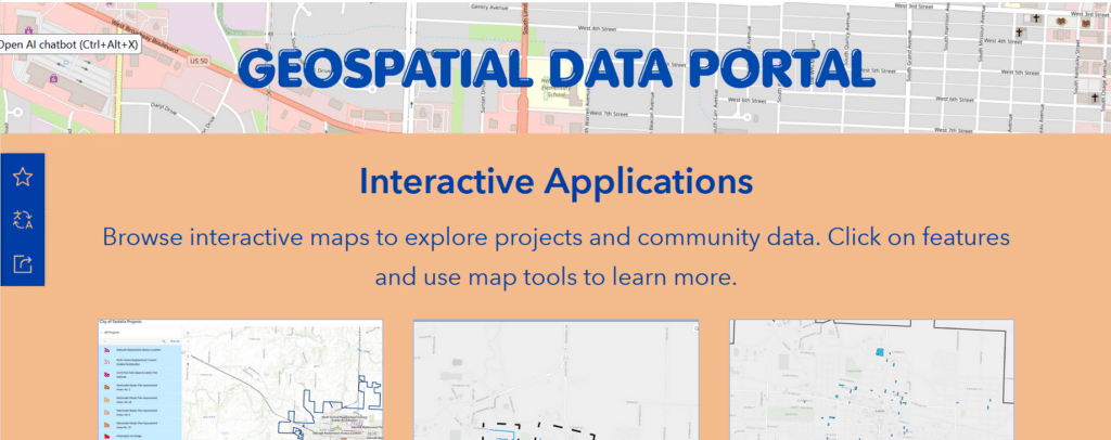
This new online resource utilizes Geographic Information System (GIS) technology to transform data into interactive applications that support better understanding and decision-making. The site allows users to explore city data through a collection of interactive maps designed to be simple, informative, and accessible.
The Interactive Maps site was developed to improve transparency, support community engagement, and provide the public with tools to better understand and explore what is happening throughout Sedalia.
Madisyn Zumsteg, the GIS Coordinator said, “I am still learning and growing in GIS but am excited about how far we’ve come and where this can go. We really want this to be a helpful resource for the Sedalia community.”
Applications currently available on the Interactive Maps website include:
- City of Sedalia Owned Properties for Sale
- North Central Sidewalk Project
- City of Sedalia Projects
- Clean Sweep application will appear here once updated for 2027
The site is part of an ongoing effort to provide relevant information to residents and will continue to grow over time. Additional maps will be added as they become available, making this a continually evolving resource for the community.
While many applications are accessible on mobile devices, users may find that the site performs best on a desktop or larger screen.
Residents and visitors are encouraged to explore the new Interactive Maps website and take advantage of the tools available. The link to the website is found under the “Grow” tab on the City of Sedalia website.